02 — First drop · Phase 1
The line.
Performance sun shirts in poly, all-over-print chart tees, neck gaiters. Sized for the run from MM0 to Marquesas.

The run · MM0 → Marquesas
The Flats
Turtle grass and white sand. Where the bonefish tail at first light.
03 — The reason
The Keys are
168 miles long.
So are we.
Salt Life is Jacksonville. Choona is 30A. Salty Crew is San Diego. Keasy is the 120-mile stretch of US-1 between MM0 and Key Largo, plus 25 miles of open water out to the Marquesas. That’s the brand. That’s the brief.
Designed by people who actually live here. Tested at Bahia Honda, the Bay, and the back of Sand Key. Made for the run home.

03 — Field
Where Keasy gets worn.
The full line — tees, sun shirts, and gaiters cut from the same NOAA chart fabric that runs under the boat at sunrise.
MM0 → MARQUESAS · 168 MI
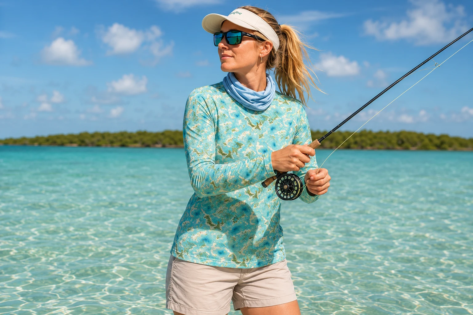
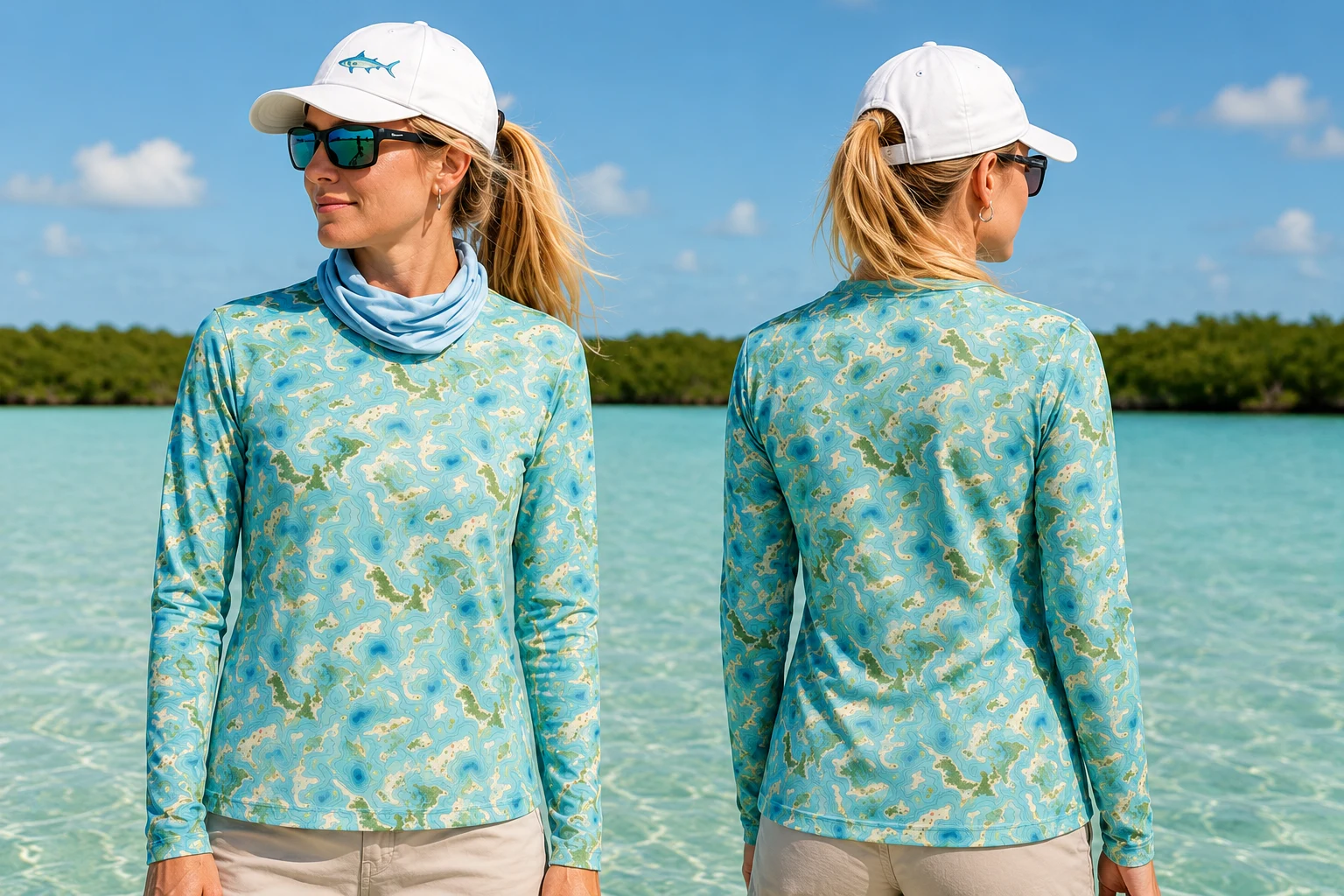
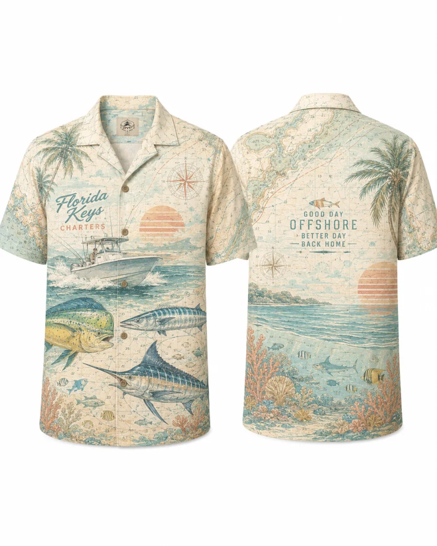
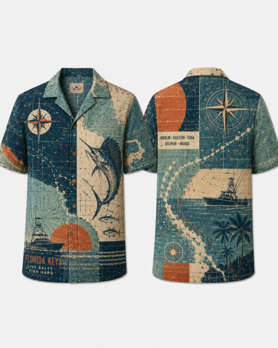
Reef Tract Long-Sleeve Sun Shirt
25.0°N 80.5°W → 24.5°N 81.8°W
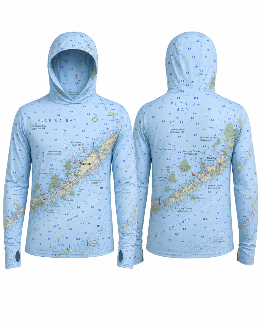
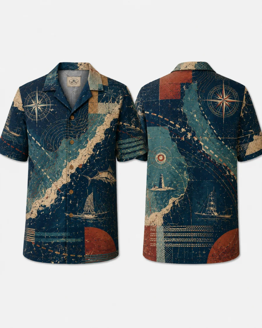
Hawk Channel Long-Sleeve Sun Shirt
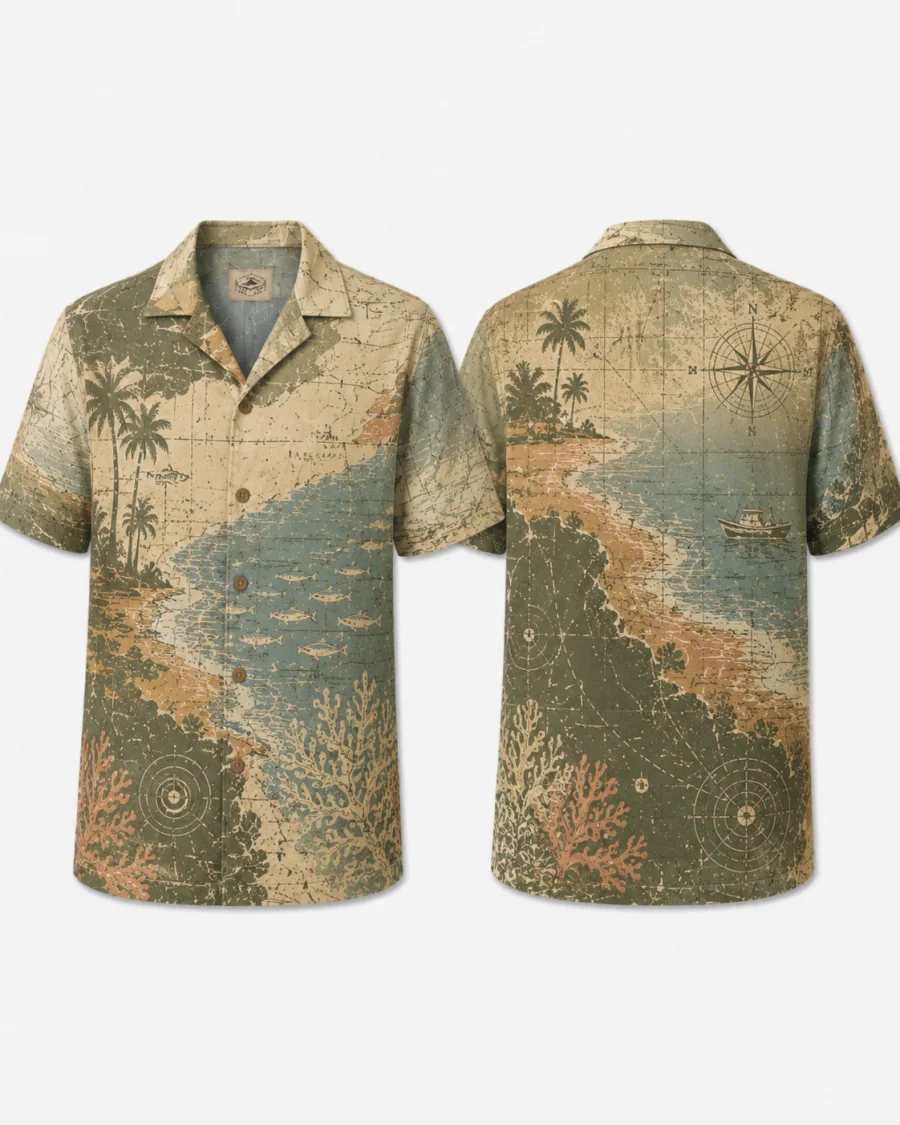
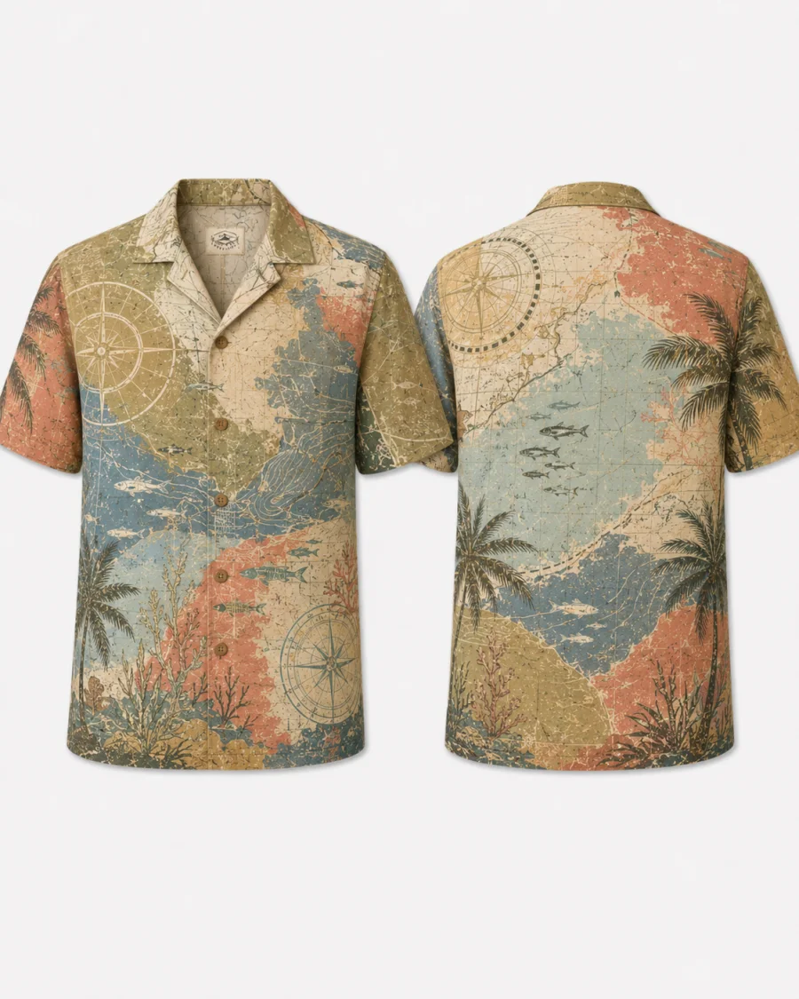
FLORIDA BAY · TURTLE GRASS & WHITE SAND
Florida Bay Flats Tee
WESTERNMOST KEY · MARQUESAS ATOLL
Marquesas Tee
CONCH REPUBLIC · EST. 1982
Conch Republic Tee
MM0 · KEY WEST · END
Mile Marker 0 Tee
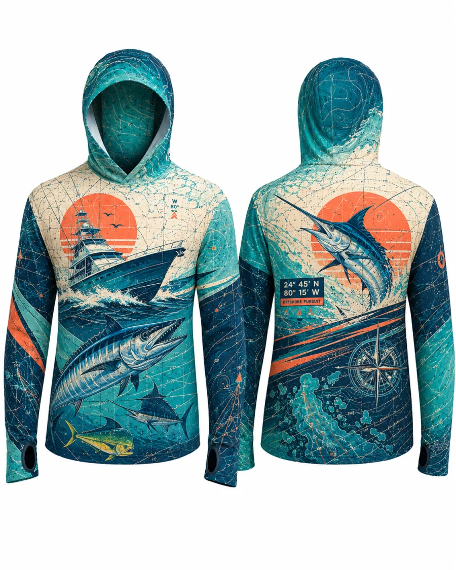
TARPON SEASON · MM0 → MARQUESAS
Tarpon "Silver King" Tee
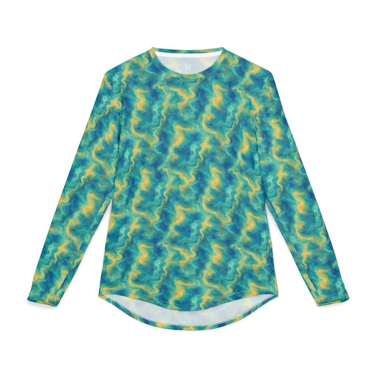
MM0 → MARQUESAS · 168 MI
Reef Tract Long-Sleeve Sun Shirt
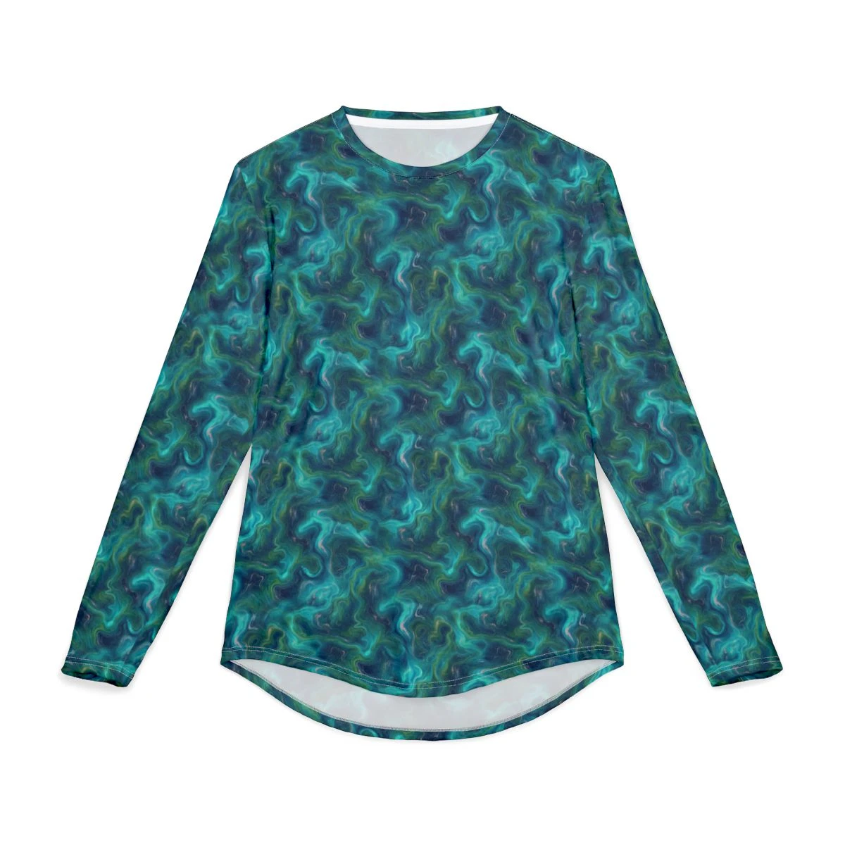
25.0°N 80.5°W → 24.5°N 81.8°W
Hawk Channel Long-Sleeve Sun Shirt
FLORIDA BAY · TURTLE GRASS & WHITE SAND
Florida Bay Flats Tee
WESTERNMOST KEY · MARQUESAS ATOLL
Marquesas Tee
CONCH REPUBLIC · EST. 1982
Conch Republic Tee
MM0 · KEY WEST · END
Mile Marker 0 Tee
TARPON SEASON · MM0 → MARQUESAS
Tarpon "Silver King" Tee
ISLAMORADA · BONEFISH CAPITAL OF THE WORLD
Bonefish Flats Tee
BACKCOUNTRY · MM0 → MM107
Skiff & Mangrove Tee
MM0 → MARQUESAS · 168 MILES
Wordmark Long-Sleeve
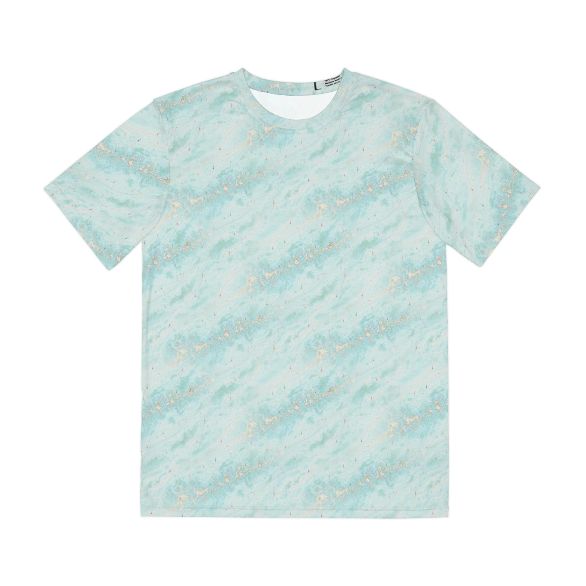
MM0 → KEY WEST · HAWK CHANNEL
Lower Keys Chart Tee — Aqua
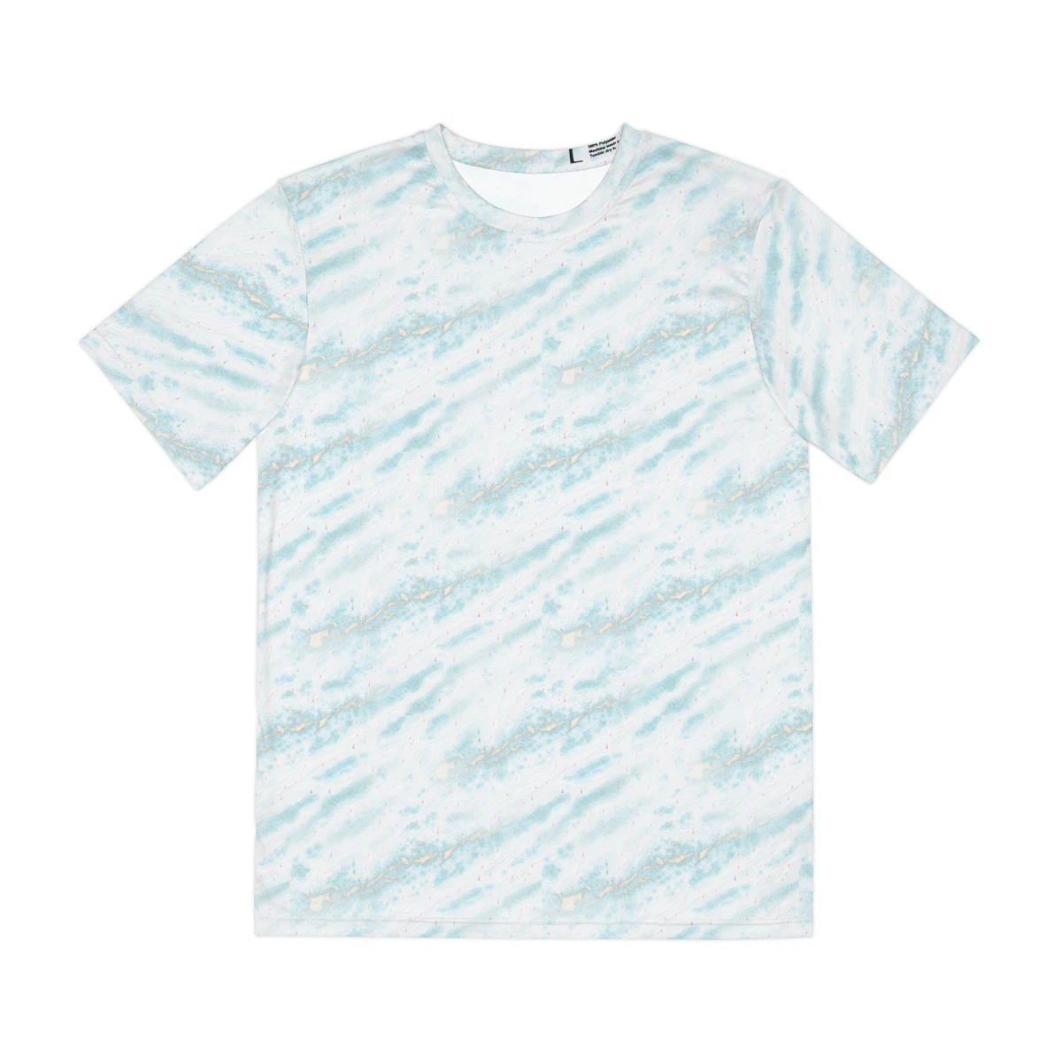
MM0 → KEY WEST · HAWK CHANNEL
Lower Keys Chart Tee — Soft Aqua
MM0 → KEY WEST · HAWK CHANNEL
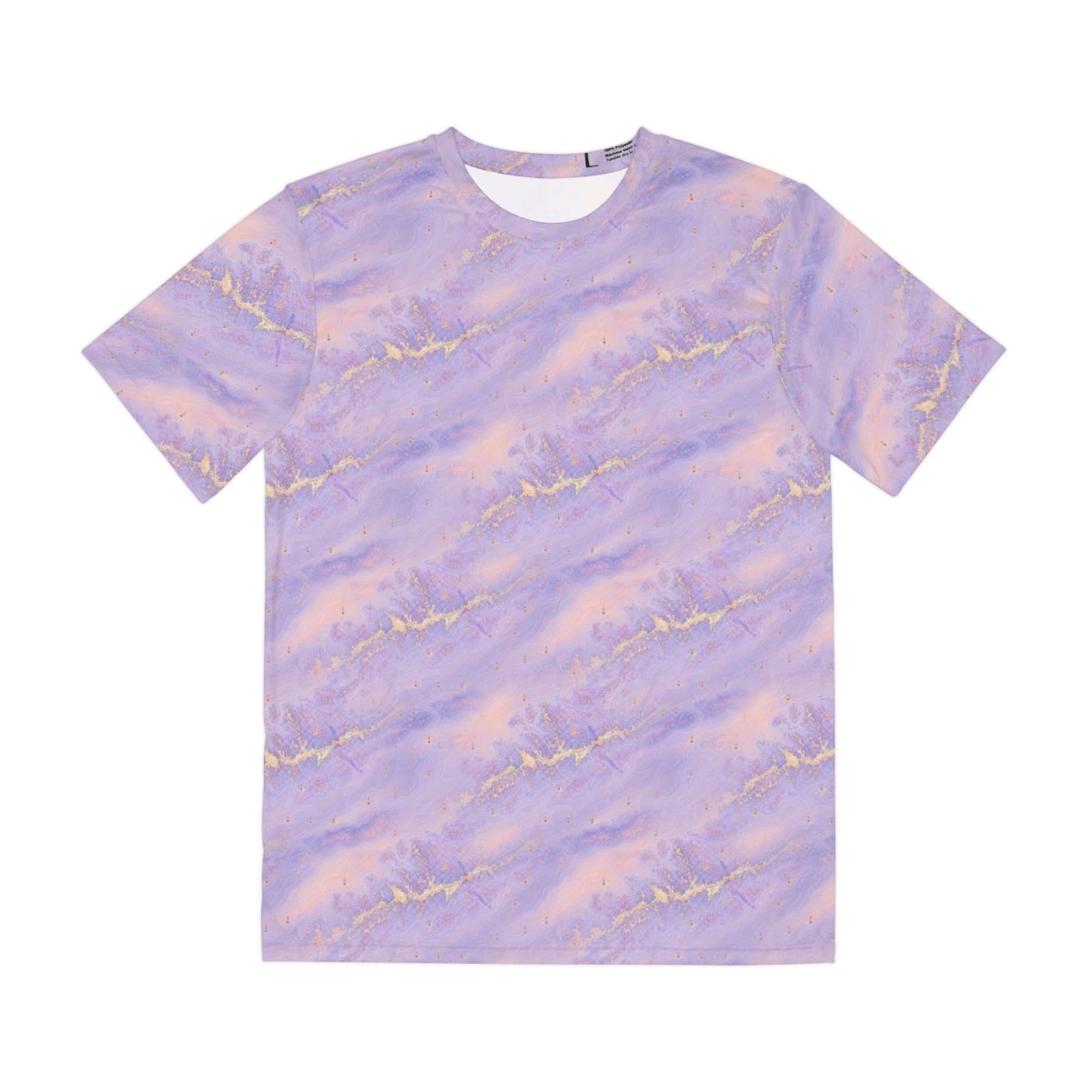
Lower Keys Chart Tee — Lavender Sunset
MM0 → KEY WEST · HAWK CHANNEL
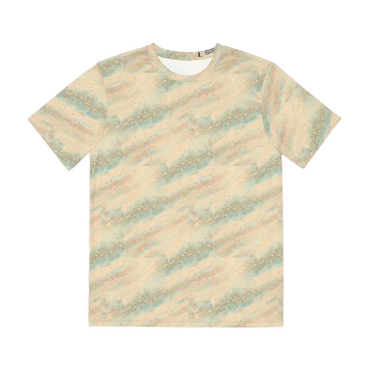
Lower Keys Chart Tee — Vintage Sand
ISLAMORADA · BONEFISH CAPITAL OF THE WORLD
Bonefish Flats Tee
BACKCOUNTRY · MM0 → MM107
Skiff & Mangrove Tee
MM0 → MARQUESAS · 168 MILES
Wordmark Long-Sleeve
MM0 → KEY WEST · HAWK CHANNEL
Lower Keys Chart Tee — Aqua
MM0 → KEY WEST · HAWK CHANNEL
Lower Keys Chart Tee — Soft Aqua
MM0 → KEY WEST · HAWK CHANNEL
Lower Keys Chart Tee — Lavender Sunset
MM0 → KEY WEST · HAWK CHANNEL
Lower Keys Chart Tee — Vintage Sand
The Log
Field notes from MM0–Marquesas.
Field notes · 04
Reading the reef tract
What NOAA Chart 11451 actually tells you when you stop looking for fish and start looking at the water.
Read →Field notes · 03
Why poly, not bamboo
Sublimation only bonds to polyester. Why every fishing brand in your closet is poly, and why ours is too.
Read →Field notes · 02
End of the road
The Marquesas are 25 miles past Key West. Here's the run, the anchorage, and what to wear.
Read →Field notes
From MM0 to Marquesas.
First-drop alerts, occasional Keys reports, no marketing fluff. Unsubscribe anytime.
Opt-in only. We’ll never share your email.